
| Parameters | Values |
|---|---|
| Coordinates | N47 22 30.9 E28 53 18.18 H 48 |
| Length | 14 m |
| Type | erosion cavity |
| Rocks | limestone |
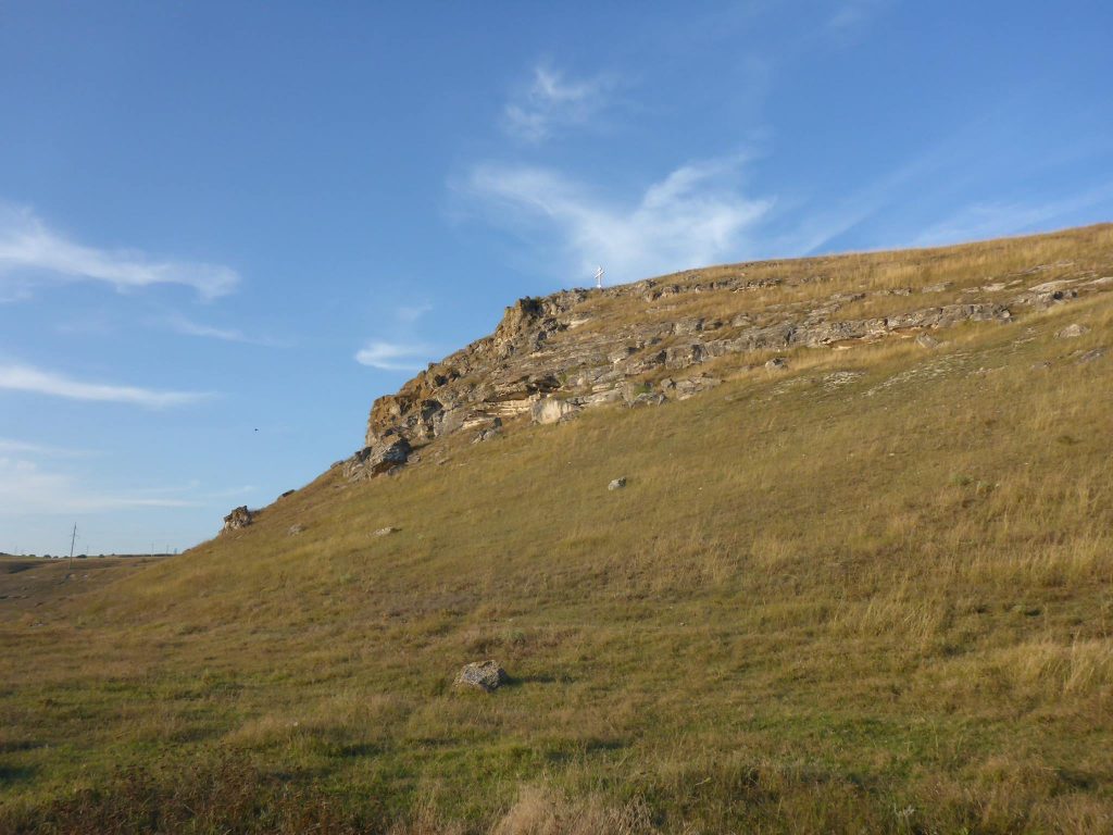
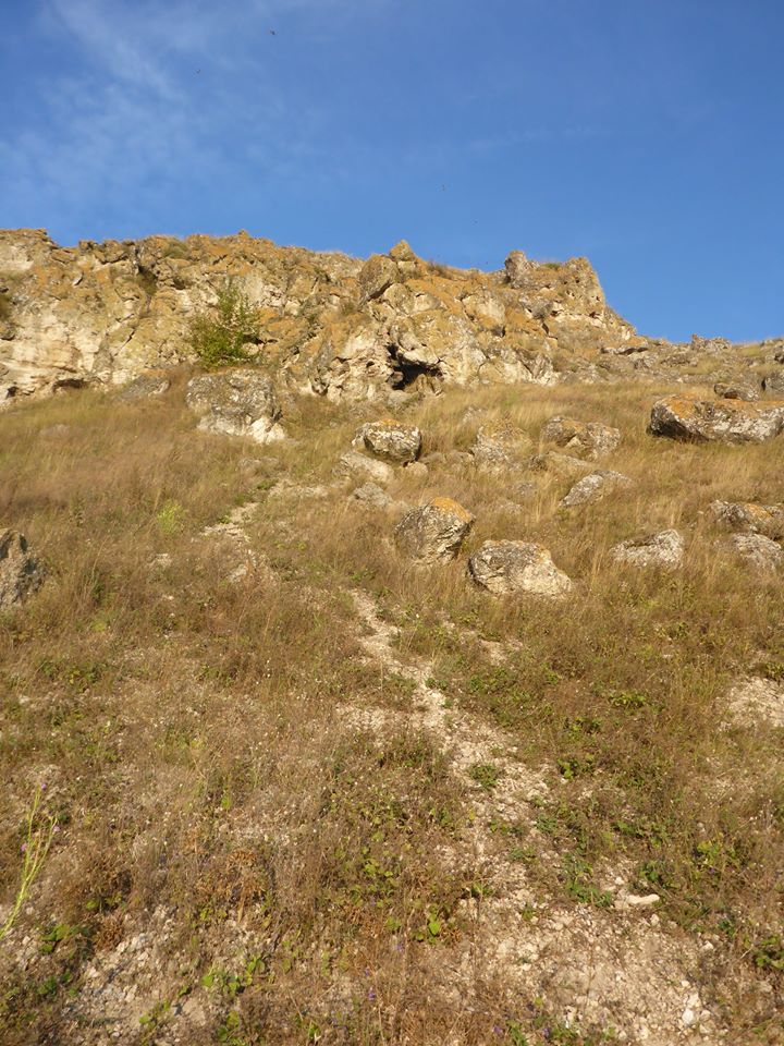
The cave is located near the village of Lazo, Orhei district, on the left bank of the Reut River, on Mount Mygly, which is a remnant. The entrance to the cave is located at a height of 40 m above the water level and opens towards the river.
The cave belongs to the type of erosion-corrosion cavities. In the formation of the cave, the primary cavities in the reef, as well as the cracks in the side rebate, apparently played a role. A cave was laid in the Lower Sarmatian reef limestone of light gray and white color.
The entrance to Mygly is 1.8 m wide and 1.4 m high. From the entrance grotto, 6 by 6 meters in size, 3 m high, there are several narrow passages laid along cracks at different levels. The walls of the cave are strongly corroded, uneven, corals dissected by water are visible everywhere. The bottom in the entrance grotto and northern passages is covered with clay, limestone rubble and pebbles predominate in the inclined southern passage. There are no secondary formations in the cave. There is no water. Fragments of bones are found in the entrance grotto.
Mygly Cave has been known for a long time. Its roof is tarnished. Archaeologists worked in the entrance grotto, the exposed cultural layer is visible, but the results of the work are unknown. Topographic survey of the cave was first performed by Odessa speleologists on December 5, 1971 (Sukhovey L.N., Sukhovey A.D.). The cave is mentioned in the literature (Literature: Pilate, 1968; Pronin, Sukhovey, 1997; Pronin, 2002).